Heightmaps store a grid of height values positioned in a 2D map.
They're useful for representing the topography of a landscape, city building footprints, as well as raised emblems and badges. These types of heightmaps can easily be converted into a 3D mesh, making them suitable for 3D printing.
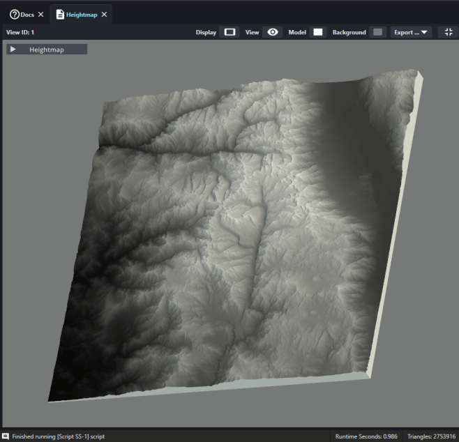
PrinterKit can load heightmaps that are saved as common png and jpg files as well as more specialized digital elevation files (DEM).
Heightmaps can be loaded into PrinterKit and automatically converted into a 3D file that's ready for 3D printer slicing software.

Generate heightmap from file
There are several settings that control the 3D file generated from a heightmap
Heightmap Path: Select a grayscale heightmap or elevation file to load
Resolution: Scale up or down how many samples of the heightmap to use
Size X and Y: Set the width and height of your 3d model


Heightmap and associated color map image
Even though the majority of consumer 3D printers are single color, PrinterKit still supports optional colormaps. These colormaps can be overlayed on generated 3d meshes and create more interesting visuals.

3D mesh created from previous heightmap and colormap images
Heightmap with grayscale values used as color map (generated from digital elevation file)